Here it is!
We are pretty much exactly two months out from the Rambler (Aug. 27!!) So here is the route. I actually tried it over the weekend to make sure it works (it does) and to make sure we can do it in a reasonable amount of time (we can!).
The route is basically a showcase of the Comox Valley.
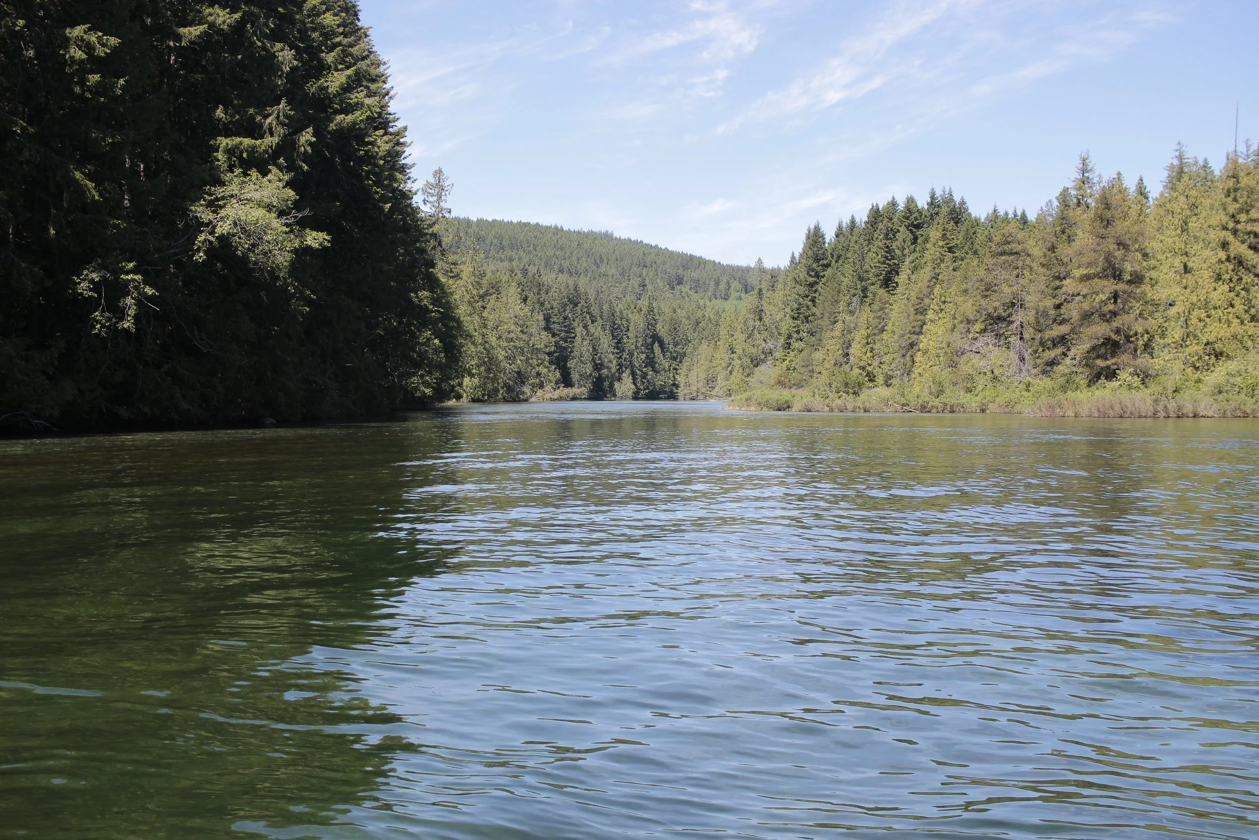
It starts at the Comox Lake beach (Ginger Goodwin Sign). At the start, folks can pull their first poker cards and off we go. From there we go into Cumberland before turning onto the first bit of gravel up to the other side of the lake. This is the first swimming hole, and will be a good place to pull your second card. After that we head into the forest. There’s a good single track section that follows the river up towards Forbidden Plateau road. Once we reach the road, we head up for the climb. We’re heading into the Medicine Bowls.
The road into the bowls has the gnarliest terrain on the route. I did fine on my 2.1 inch tires, but I’m not sure if I’d love it on my 33c cross tires. Picture baseball-sized rocks, some deep ruts and washout sections. The whole thing is bike-able though. At the top we can grab the 3rd card, check out the falls and take some pics. This is NOT a swimming spot, people have drowned in the area at the same time we’re going, so I don’t want to risk it.
After that, we head DOWN.
Down all the way over the highway before turning onto Duncan Bay Main road. This is a logging road, and though it’s Saturday may be a few logging trucks. They have right of way, so skooch over if they’re around. Duncan Bay Main crosses Strathcona Parkway (which people may recognize as the Mt. Washington Road). Time to speed tuck and head down down down, cross the highway and turn left onto Farnham.
This is a recently paved, moderately trafficked road, so chill and cruise :).
After the first bridge, turn into the trails at the old Headquarters Townsite. You can tell because of the giant dilapidated building covered in graffiti. Photo stop time! Most of the pictures I’ve taken of my bike in the past three years have been here. There’s a bit of a swimmin hole nearby too, with a swingin’ rope for those who are braver than I am.
But we’re not far from the next swimmin’ spot, so don’t spend too long frolicking, we have biking to do!
Up Railway is a hidden little gem of a park and swimming hole. This is where I stopped and had lunch and cooled my weary bones.
From there we go back towards Courtenay. Go around to the Headquarters townsite again, but this time turn… well left again, but we’re heading the other way, so it’s the opposite side of the road. Make sense? A quick bit of trail, then we pop up and head through some rural niceness. Back into the forest for my little shortcut to Dove Creek Road, and then head on past horses and farms.
Then we’re back into the woods! Some chill singletrack through the woods before we take some farm roads back into Courtenay. Once in town, there’ll be a bit of urban riding before we get onto the Riverside Trail, where we just have to watch out for stray children, senior citizens and dogs until we get out of the city. Then we go up again!
Up through farmland, past some bucolic properties and fields and up over the last climb before dropping into Cumberland. From there it’s a beeline to Cumberland restaurants where we can stop for a burrito :) Then it’s an easy jaunt back to the lake for beach time.
It took me about 6.5 hours going at a pretty slow pace, so we should have plenty of time from the 11 a.m. start to get back before too long.
I drank about 4 L of water on the trip, and my ride was on the hottest day (so far) of the year. I also ate most of a pack of gummies, three banana thingies, two cheese and couscous wraps (yeah they were weird), and almost two protein bars.
The map is down below, it’s also downloadable for all your GPS device needs, so have at it.
If you have a Garmin, Wahoo, fancy calculator, Gameboy Advanced SP, or iPhone 6s, please download it so you can follow along. I can’t guarantee I’ll be fast enough to stay on the front the whole time, so some of you might need to know where you’re goin :)
Remember we want to keep this conversation-paced, and there are a few stops along the way planned so we can go swimmin’, take pics, eat snacks and pick berries. These also allow folks to catch up so we can stay together.


